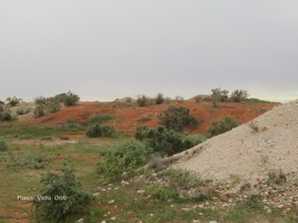
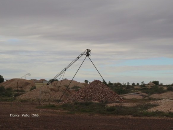
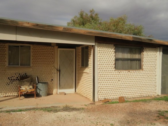
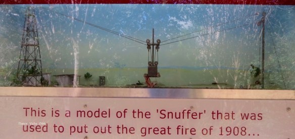
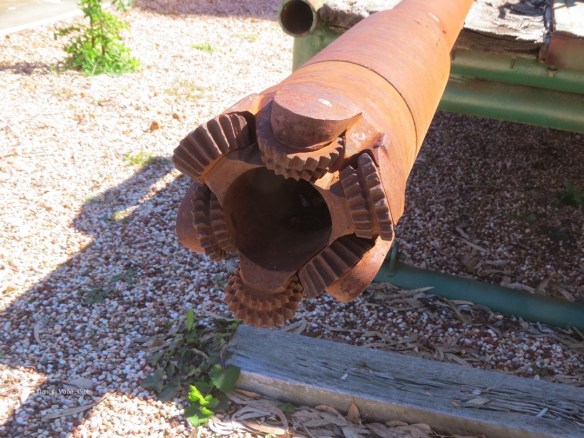
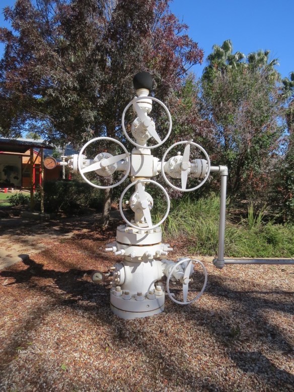
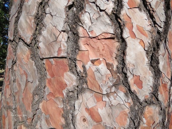
We left the Warrumbungles with regret and headed east through Gunnedah to Tamworth. Half way between the two we passed through Somerton, scene of some exciting moments in my life – eight in fact -eight parachute jumps! I don’t remember the exact location (a private property) where the Tamworth Blue Diamonds Skydiving Club operated, it was just a wide expanse of grass with a few trees and fences here and there.

I was then a post graduate student at the University of New England (UNE) which had a small skydiving or rather parachuting club (none of us were experienced enough to really skydive, i.e. jump out of the Cessna and free-fall at terminal velocity for some distance before opening the chute. On the other hand, we all jumped on our own, none of the wishy-washy piggyback stuff that tourists do for a thrill these days.
We had to help pack our own chutes too, a very careful, closely supervised operation. The number of fine cords connecting the chute to the harness was amazing. Not just the main chutes but the reserve chutes. Thankfully I never had to use mine.
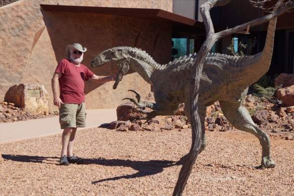
As a beginner I had to do nine static line jumps before I could be trusted to pull my own ripcord. Sadly the University club disbanded when I was one jump off from doing just that. I was required to practise landing falls, that is keeping the legs relaxed and rolling over at the moment of impact. I also had to get a medical certificate to testify I was fit, and official permission to jump because I was deaf. Apparently beginners are guided down by instructions through a loudspeaker but the Club must have convinced the authorities that I was capable of doing without. I think I was the first totally deaf woman in Australia to make a parachute jump. (I think this photo was taken after my first jump).
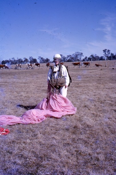
A static line is simply a stout line fastened to the plane with the other end attached to the ripcord which opens the chute. Normally one jumped from the plane, counted to at least five (to be sure of being clear), then pulled the ripcord. Experienced skydivers might not pull the ripcord for some time (!). As a beginner I was closely watched to see that I did the technique correctly.
One time when climbing out onto the step of the Cessna where one stood holding onto the wing struts before throwing oneself backwards with arm wide, my ripcord somehow became twisted around my arm. I waited and waited for the signal to jump but then realised they wanted me to get back into the plane and it circled while everything was sorted. I was annoyed because of course people on the ground would have thought I’d lost my nerve – which did happen with some other beginners.
Another time I landed very close to a barbed wire fence. The chute collapsed on one side and me on the other. Another club member was not so lucky and practically straddled a fence on landing. (Yes, some of my slides are in a bad way). 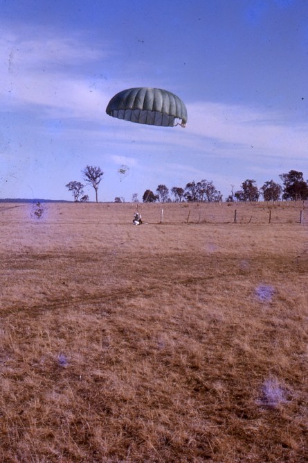
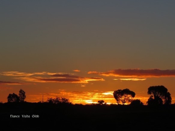
As we approached Armidale the scenery became more and more familiar. Past the airport (more reminiscencing as we usually flew from Armidale to Somerton) and the highway turnoff. Thank goodness for the GPS. Armidale is a great deal larger than it was in the sixties.
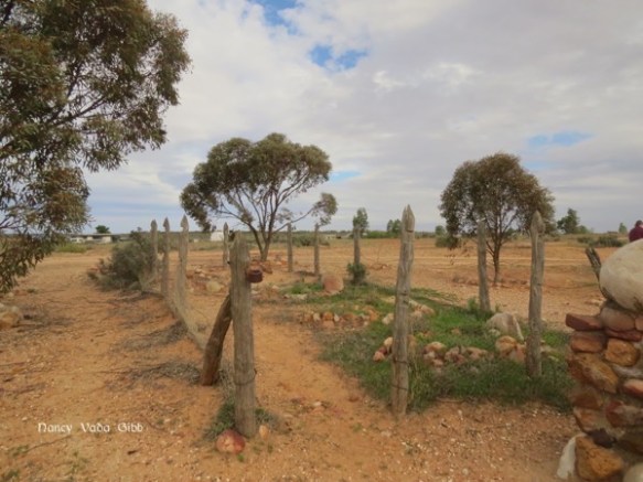
We found Judy’s property without any trouble but the long narrow driveway with overhanging trees gave us a few anxious moments, as did the sight of the low trellis archway over the main driveway. No way could we get the caravan under that! Fortunately the driveway also branched away and we found a good spot to park although Dave did worry about how to turn the caravan round later. As it happened he had no difficulty at all, just drove through a few gates and did a wide circle in a paddock and back again.
Here’s one of the clever sheep dogs ….

We paid a visit to the University but it is changed out of recognition. My old College is still there but the buildings have been much altered. I THINK that was my room in the second photo, on the ground floor and sightly to the left of centre, next to the window with a small sign underneath. 

I couldn’t identify the main building which once housed the Faculty of Rural Science. I was however fairly sure of the paddock where I kept “my” horse (actually the property of Rural Science) and rode often, including before breakfast in winter when my toes froze in my boots and the horse’s hooves cracked the ice in road puddles. Friends living in town got used to me parking my horse in their front garden while we had a cuppa.
I did manage to identify a block of flats where Julie-from-Canberra and I had lived for about a year and where we first decided we would go overseas together.
 It was also where a cat called Minou came into my life. Minou, of indeterminate parentage and striking streaky-black-cream-brown appearance, lived to be 19 and had an amazing life, living in a variety of flats, my parents’ home while I was overseas, more flats, a farm, and finally about seven years on a boat. She definitely used up most of her nine lives, survived a fight with a snake (I found it half dead on my kitchen floor), being yanked down and out of an old chimney by her tail, various swimming episodes and several bouts of VERY BAD seasickness followed by soothing warm baths. When first husband Geoff and I were living in a small flat in Sydney while working on the boat, Minou would almost always come with us in the dinghy when we went out to the boat. She was a wonderful cat. (And by an amazing coincidence, my daughter now has an almost identically-coloured cat!).
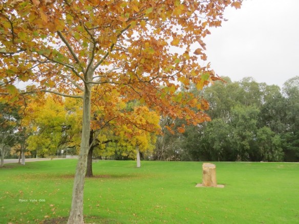
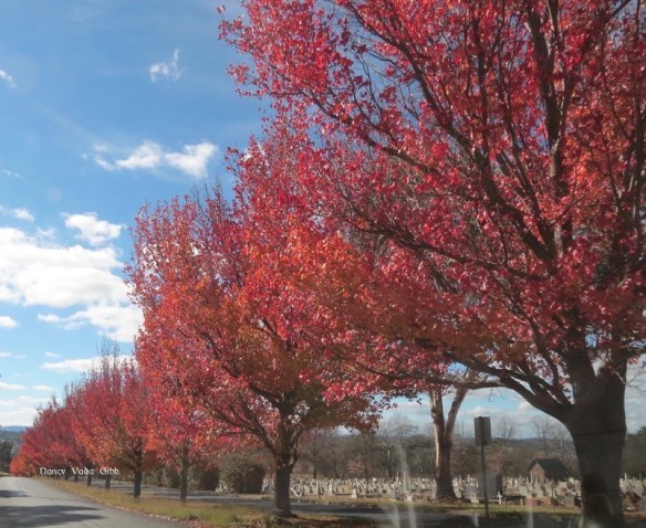
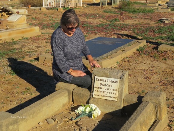
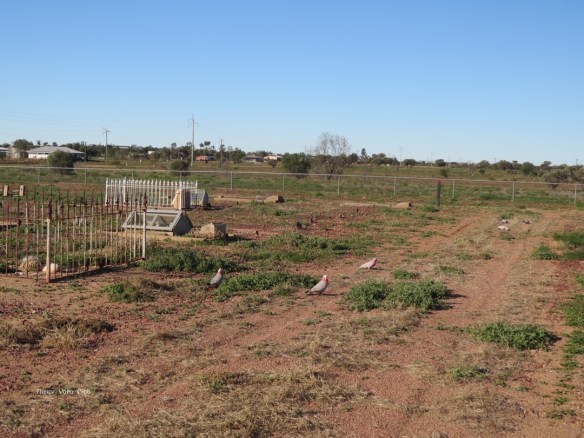
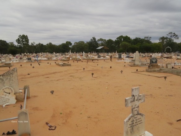
We’d missed most of the glorious New England autumn colours but did find one avenue of elms near the cemetery. There must be a microclimate in that area.

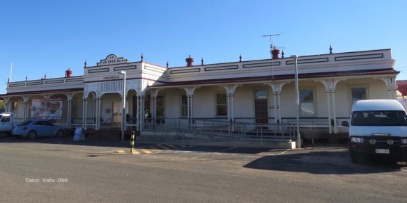
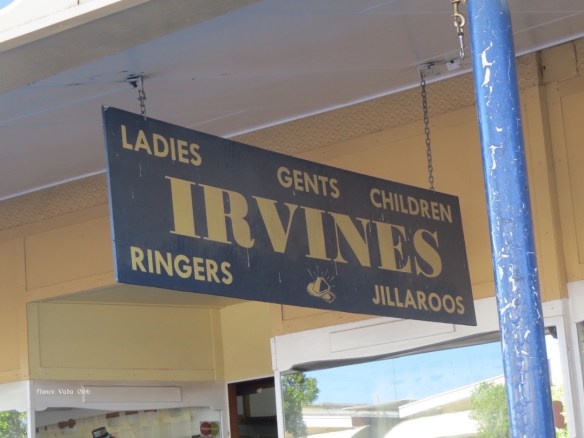
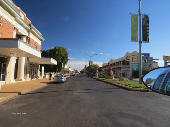
The town is also much changed although some of the old buildings remain, particularly Richardsons, a sort of country town Myer (Aust.) or Ballantynes (NZ). We found a jeweller who repaired our caravan clock, bought me a pair of casual and much-needed shoes, and generally enjoyed time with Judy and some of her family who live nearby, including three wonderful grandchildren.
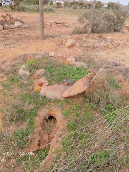
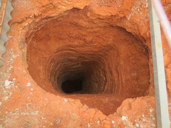
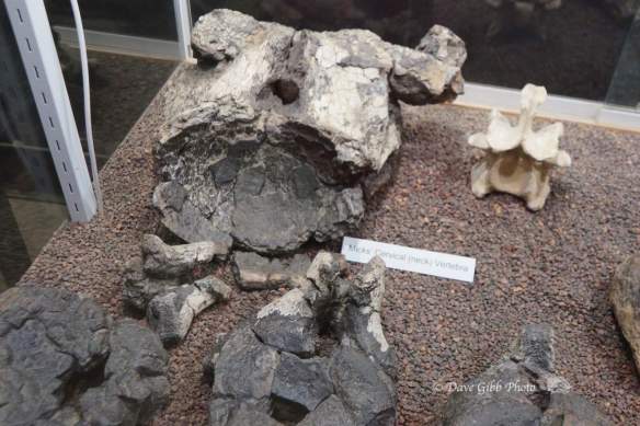
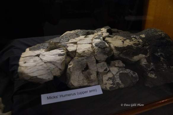
Judy had discovered a most unusual skull on her property. We could not decide what it was . A frilled-neck lizard was the closest we could get but there were several features which belied that. Do any of my readers have any idea?


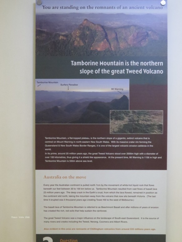
After a relaxing few days it was time to move on. We needed to be at Tamborine Mountain in time for friend Ian’s special birthday party. We wanted to avoid the congestion of the Pacific Highway so drove up the New England Highway which I used to know so well on my trips to Brisbane from Armidale. Through Glen Innes, Tenterfield and finally Stanthorpe where we decided to spend the night at the Blue Topaz camp a few km outside town. We were on a powered site so could use our big heater. A week or so later the highway from Glen Innes was closed due to black ice and snow!
Next day on to Tamborine via Warwick and Beaudesert. A nice quiet drive.


 We decided to turn around and return to Mt. Isa where I hoped to be able to find a proper high tensile pin for the spring. When we arrived back in Mount Isa we rang the local spring maker who informed us he was on holiday until next Wednesday, and “…. the nearest places where it could be done are Alice Springs, Darwin or Townsville!!!”


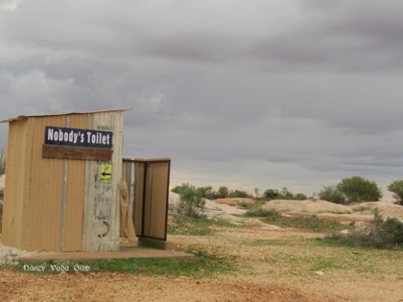
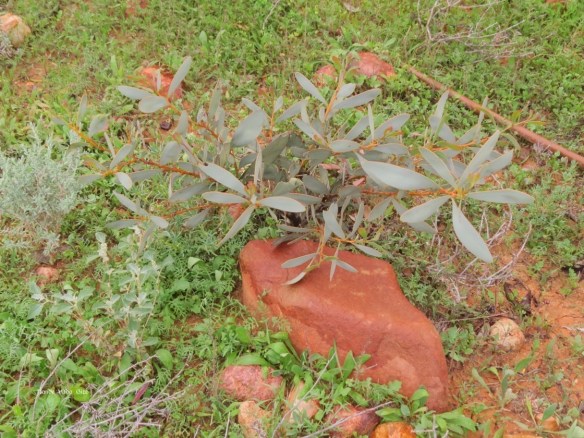
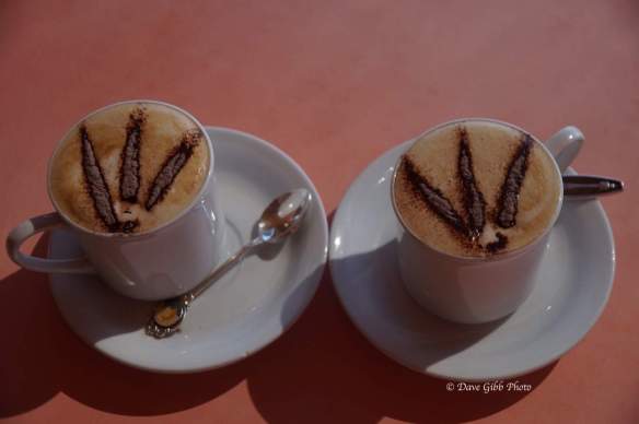
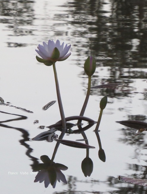
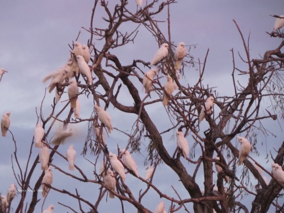
 Two other things noted were the colourful native flowers, and themed coffee.
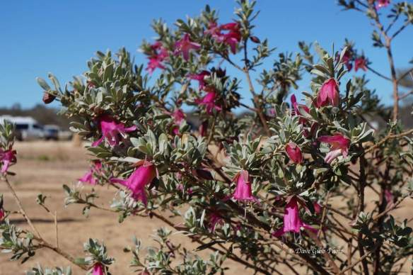


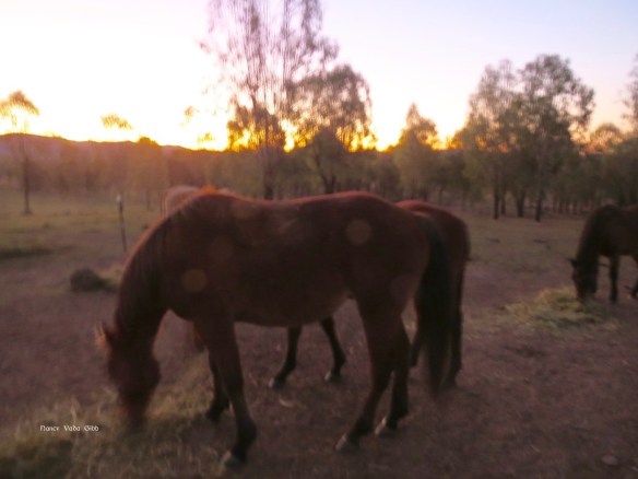
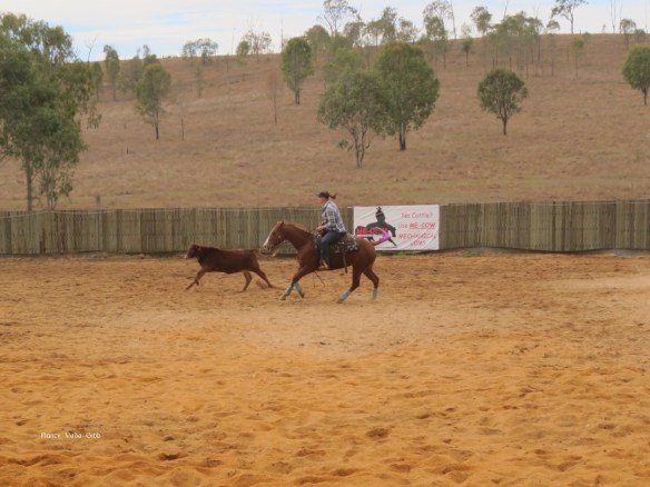
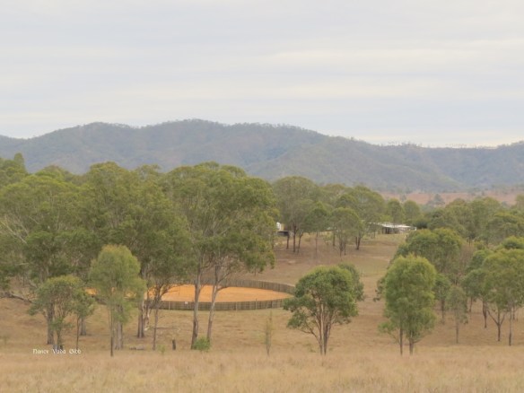
 We had a lovely restful stay at Nic and Mick’s property near Toogoolawah, with Westie parked in a paddock next to the horses and also a ‘little house’ with a shower and toilet so we didn’t have to bother them at the ‘big house’ too often.
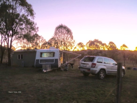


 We drove via a circuitous route to take in Narangba and visit friend Carole’s cousin Elaine, last seen about 25 years ago. We agreed we’ve all got a few more wrinkles but otherwise are unchanged! A lovely reunion. We parked in their extensive backyard and have suggested they make part of it available to visiting caravans, similar to the privately-owned POP sites in NZ. Incidentally, there seem to be very very few similar sites in Australia. Or perhaps i just haven’t found them yet.


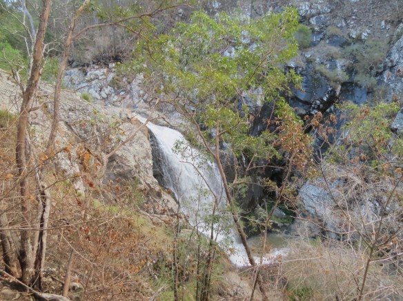


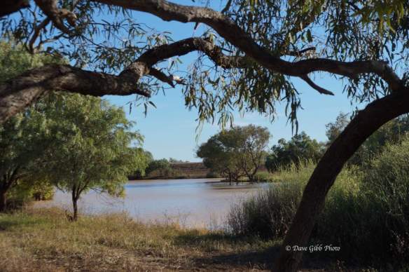
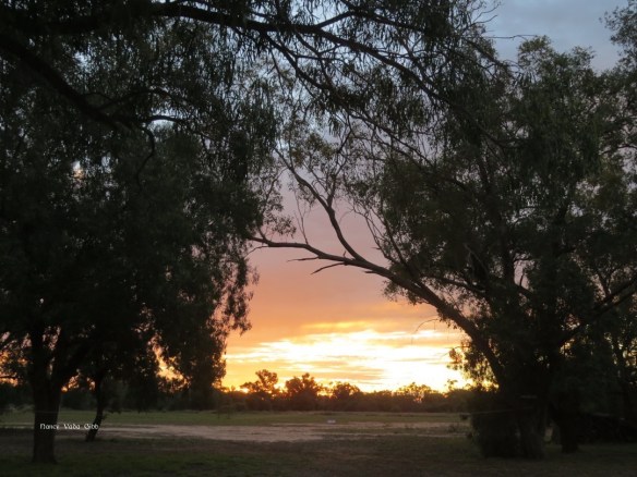
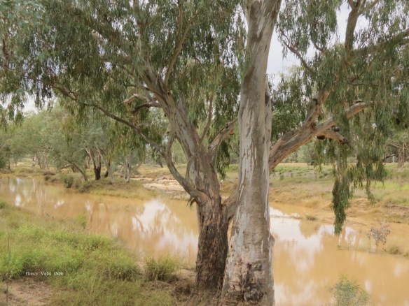
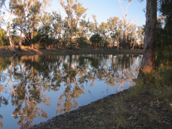
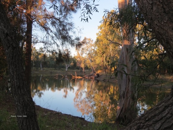
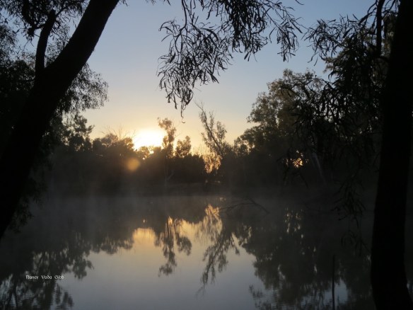
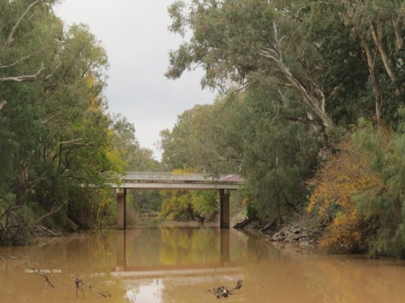 The view from the other side. Wattle trees lined the banks.