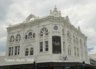
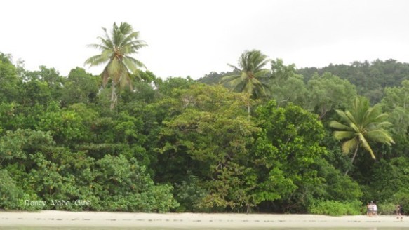
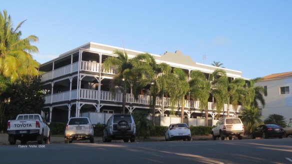
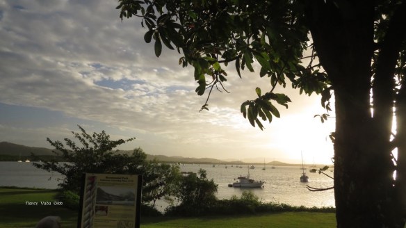
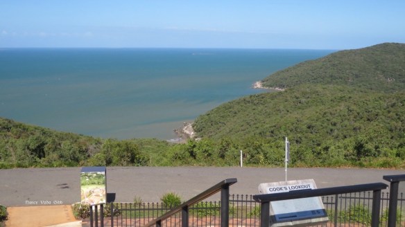
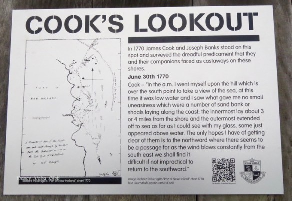
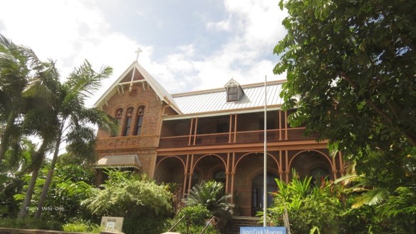
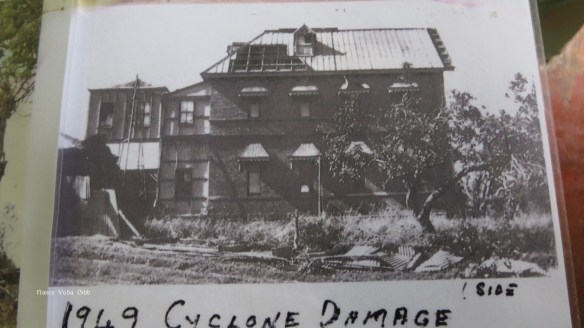
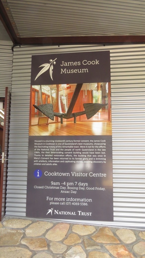
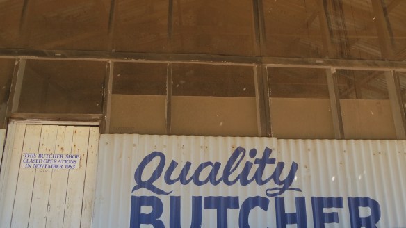
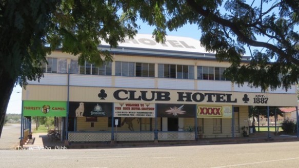
It has been good to relax for a while. Cairns is quite hot and humid so the coolness of shopping malls is welcome. The town has certainly grown, sadly at the expense of many of the lovely old buildings. However, some remain.
As usual we were on the hunt for a few replacement bits and pieces for the caravan, this time it was the step which recently decided to crack on top. Dave had heard several horror stories of people getting their foot caught in the hard plastic as it collapsed so we decided to replace it with a sturdier two-step. We also bought me some new sandals, badly needed.
We spent one lovely day with a teacher from my old Sydney school. Now in her 80s, Stella is just the same from when I last saw her over 35 years ago.
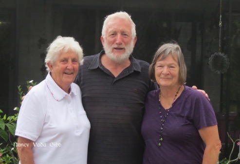
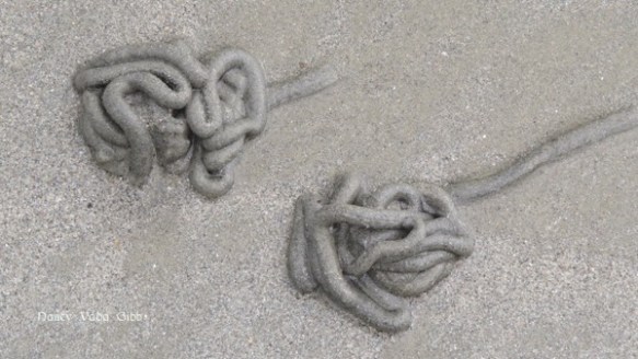
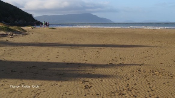
She took us to lunch at an innovative little restaurant called Eato’s, where unemployed people are trained as cooks, waiters, etc and then found proper jobs. The food, though fairly basic, was wonderful and well presented. I had pork belly and it was a true melt-in-the-mouth experience. Then we went for a drive to her old stomping ground, Holloways Beach, where she and I once took her dog for a walk.
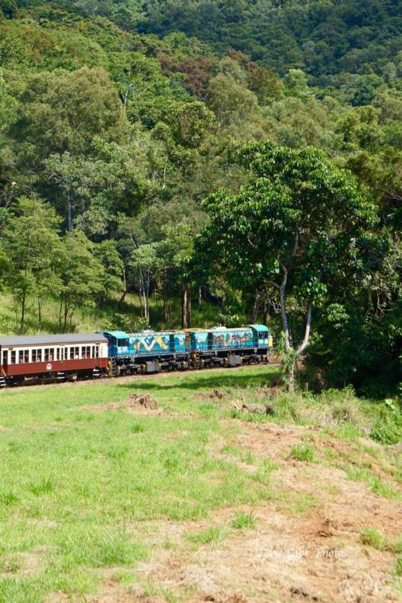
With so many attractions available we couldn’t decide what to do – go to Green Island or the Low Isles or Fitzroy, glass-bottomed boat and/or snorkelling extra, or just a sail. Or just do the Kuranda Train and Skyrail? The helpful guy at the i-Centre gave us some ideas about the latter so in the end it was decided – join the train at Freshwater Station (close to Lake Placid), train up, Skyrail down, coach from the Skyrail terminal back to Freshwater to collect the jeep.
Pioneer women, from a photo in the Freshwater station museum. Haunting faces.

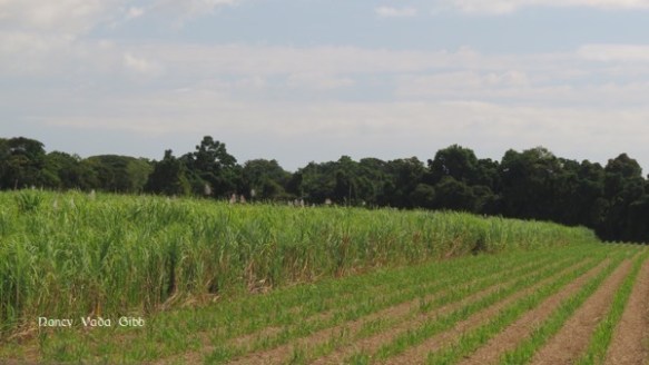
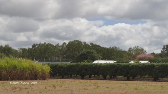
At first the train went through sugar cane fields, then started to climb.
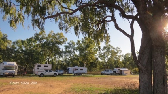
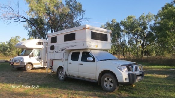
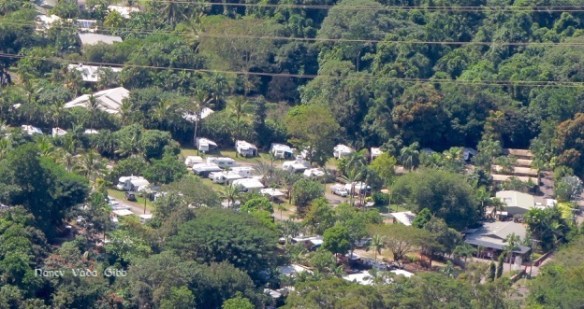
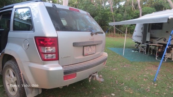
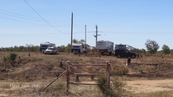
The Lake Placid caravan park was just visible. Our caravan is in front and just to the right of the three in a row at the centre back.
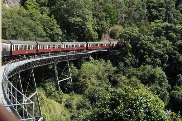
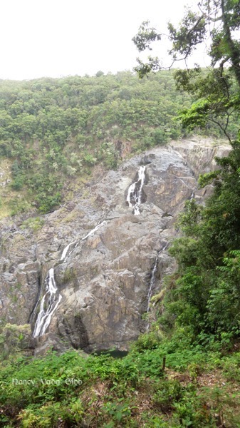
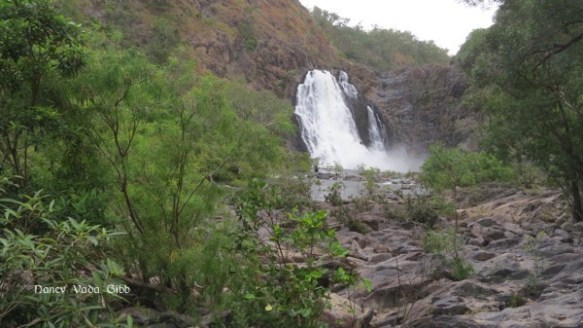
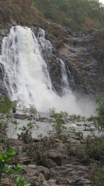
Stony Creek Falls as seen from the train as it went over this bridge.
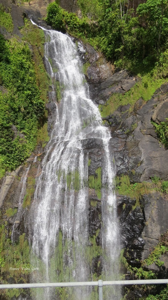
The same falls seen later that day from the SkyTrain.
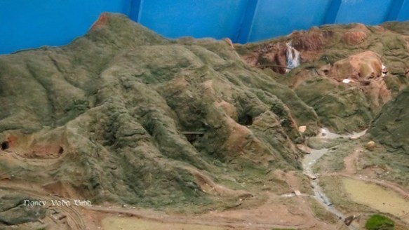
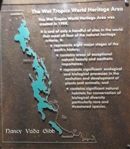
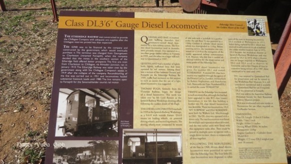
The railway was constructed between 1882 and 1891 “…. and even today is considered an engineering feat of tremendous magnitude”. Heritage wooden carriages take one 328 metres above sea level, through 15 hand-made tunnels and over 37 bridges through World Heritage-listed rainforest. Here are two scale models to give an idea (the waterfall and bridge in the last photo are visible top right in the first model).

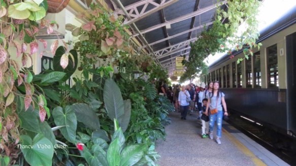
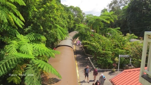
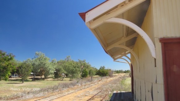
Kuranda has certainly changed from the little township I saw many years ago. The railway station however is still much the same, a sort of elongated fernery.
Emerging from the station we were welcomed by a didgeridoo player. He didn’t pause for breath just gave Dave a thumbs-up when he dropped a donation in the tin.

The town is like one huge market with stalls ranging from the gypsy-tatty to the expensive gold-pearls-and-opal with haughty well-dressed salespersons. Also what seemed like hundreds of food stalls. There were far more Asian faces than anything else. Ah, Tourism with a T (!).
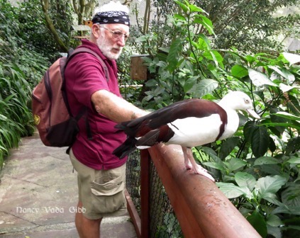
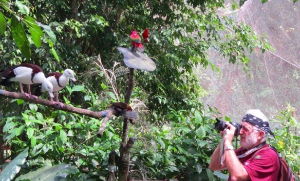
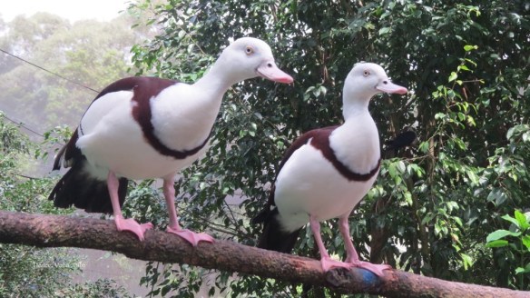
There are several special attractions in the town. We chose BirdWorld. We were warned to remove all jewellery etc which would include Dave’s cochlear implants, but he needed them so a quick search around the nearby stalls and we found a great bandana … doesn’t he look piratical! The Raja Shelducks loved him.
( Dave: All I needed was a Hardly-Drivable to complete the image!)
Alexandrine Parrot from India and SE Asia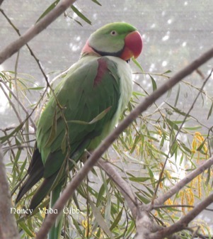
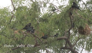
Possibly cassowary chicks – not sure.
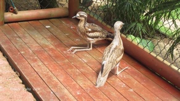
Correction: Bush stone-curlew. Endemic to Australia. Has an unusual courtship dance.
Black cockatoo
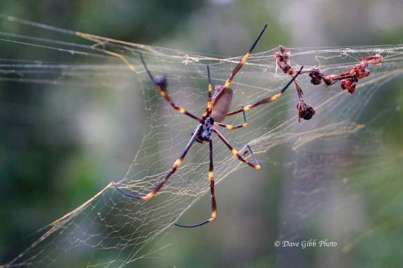
Dave’s bird photos. Not all are Australian.


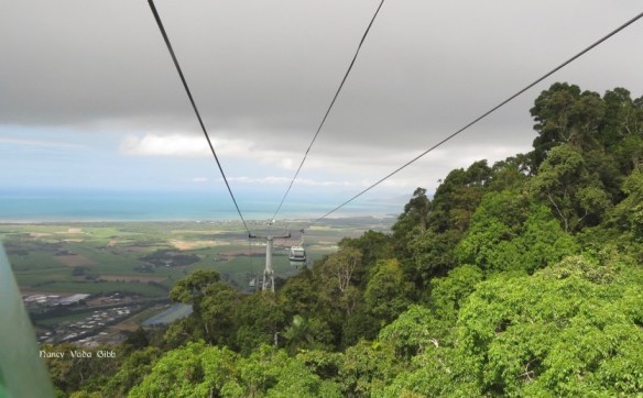
It was a humid cloudy day so our photos of the Skyrail are not the best. There are actually three sections and you get out at each one and transfer to another carriage.

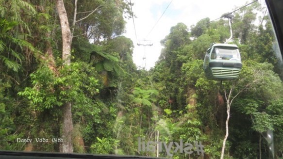

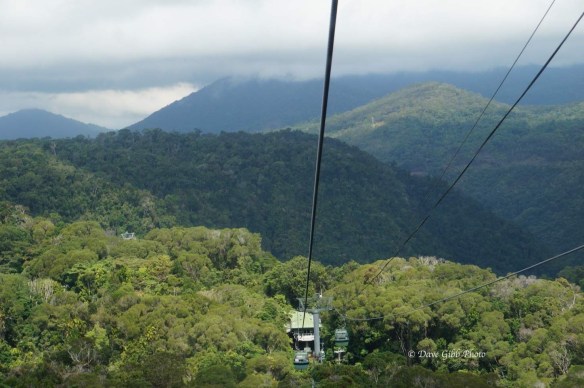
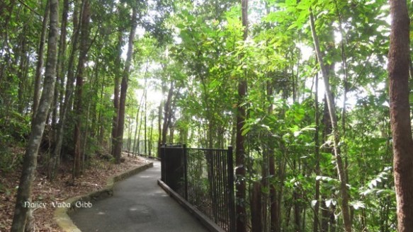
At each stop there are short boardwalks to scenic views and sometimes other stuff like an early flying fox, the mechanical people-carrying sort (they probably DID eat mangoes too).
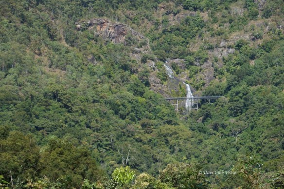
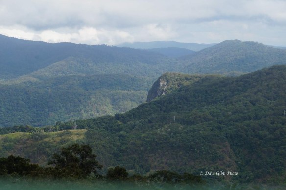
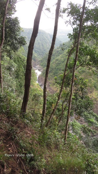
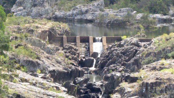
The Barron Falls as seen from the other side, and the views looking north and south.

Approaching the coast. I badly wanted to stay on board and go up again!
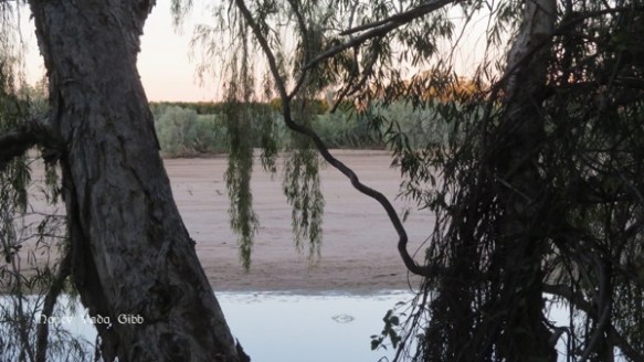
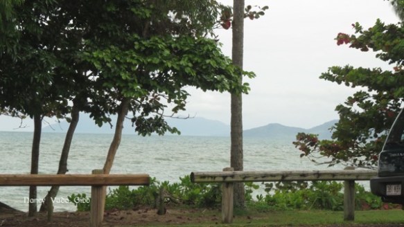
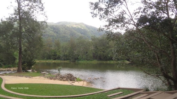
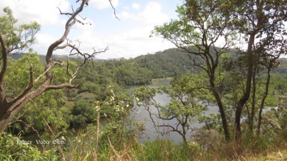
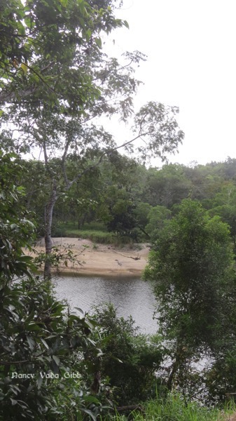
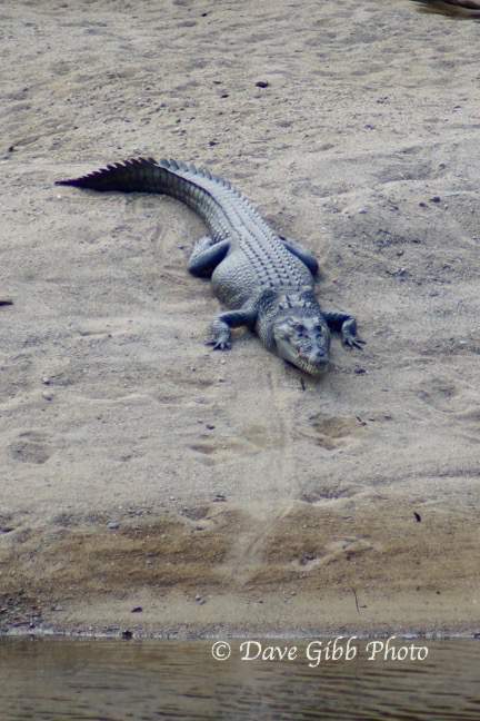
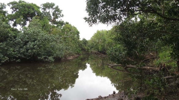
That evening we made a quick trip to Lake Placid just down the road from the camp. Not very large. Signs say it is fine to swim in the lake but the usual crocodile warning signs were at one end where the lake is joined by a river.
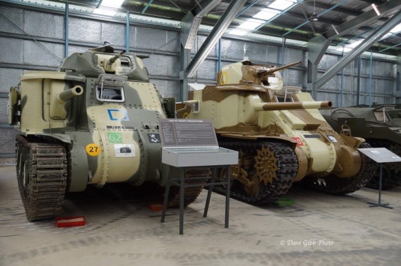
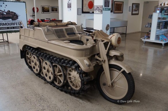
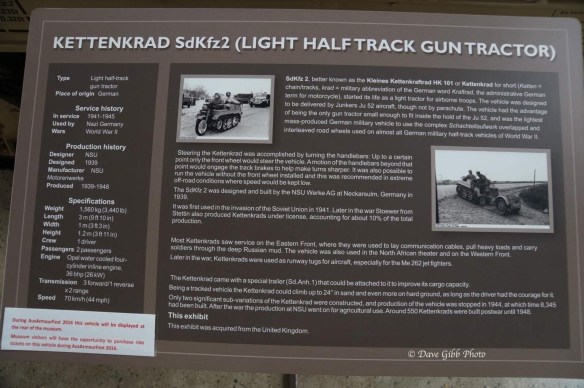
Next day Dave went off to the Military Museum and did not come back until well after lunchtime.
I stayed ‘home’ and tried to understand the results of my mtDNA test which arrived recently. A whole new world to investigate…!
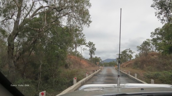
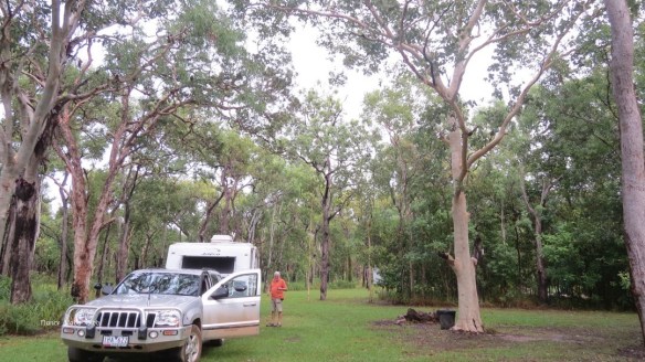
I had hoped to post this blog just before we left Cairns but the website would not co-operate. We are now back on the tableland at Undarra near Mt. Surprise.


 A restored hearse complete with plumes. The coffin, although vintage, was “never used”.


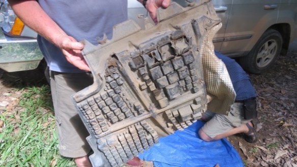
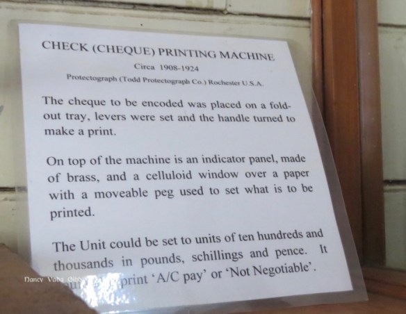
 A cheque printing machine in the old bank.
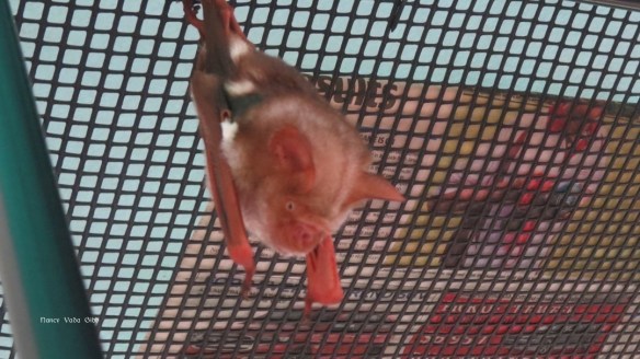
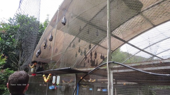
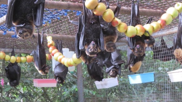
 On our way ‘home’ we turned off near Tolga to visit the Bat Hospital. When I first arrived in Brisbane in about 1990 I spent time with an old school friend who was an injured wildlife carer – which included bats. I was with her when she took her orphaned flying fox which she had reared since he/she was about ten centimetres long to the bat halfway house, where he had to learn to socialise with other bats and eventually be released. So I was keen to see more bats!


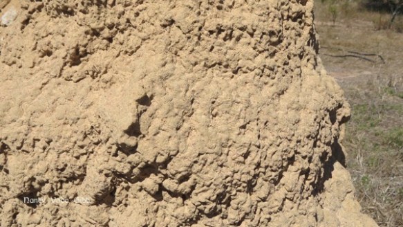
 On the way to the camp we passed the cemetery. A huge number of mausoleums no doubt reflect on the large Italian population which arrived after WW2. I have never seen that number of mausoleums in Australia before.


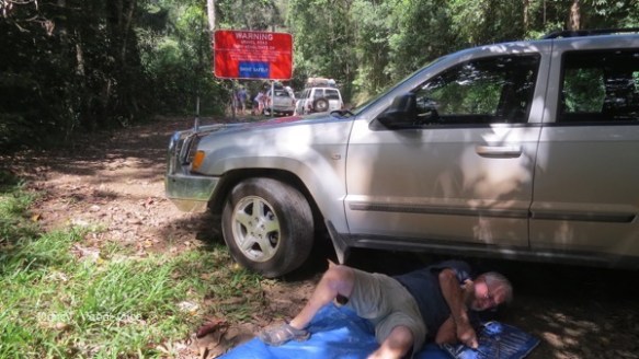
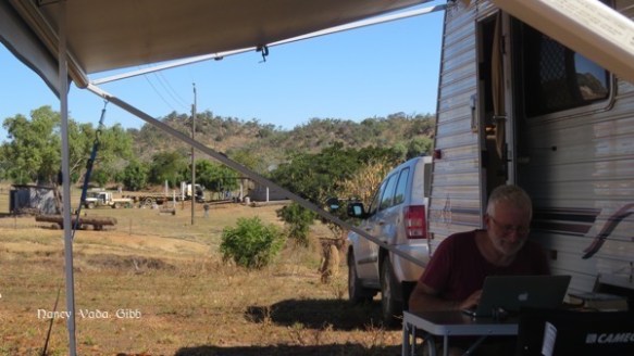
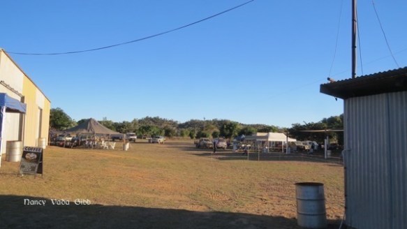
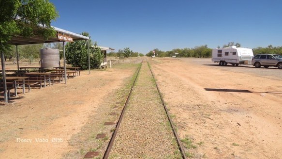
 So there we were with a puncture (soon fixed) in the main show area, thankfully still almost empty, and in sight of the camping ground proper. It was on a slight rise overlooking the whole showground, with free power and water available. The nearby toilet block had hot showers, the water heated in a large drum over an open fire.


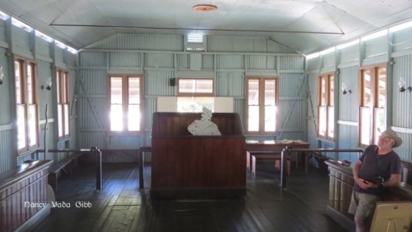
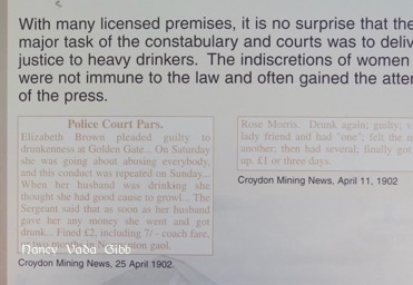
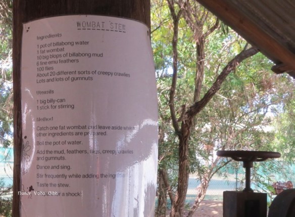
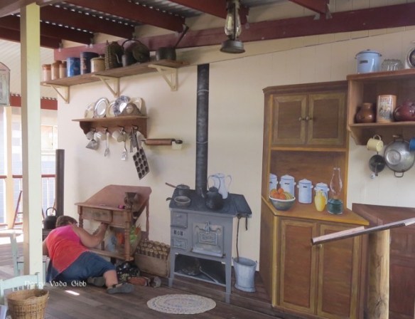
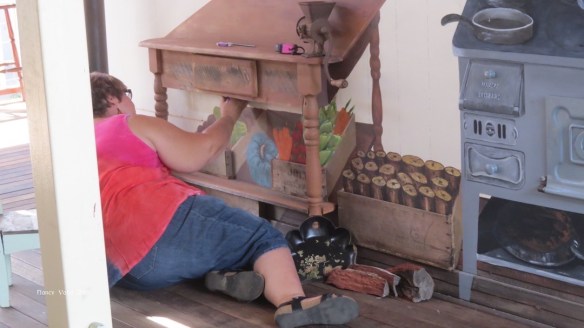
 …. but then we hit a row of beautifully restored old houses. Full of local historical items too. The piece de resistance was undoubtedly the old courthouse, with much of the original furniture polished and touchable, where cutouts of the main protagonists in a Drunk and Disorderly hearing can be seen while a marvellous soundtrack (says Dave) let them ‘speak’ their parts.