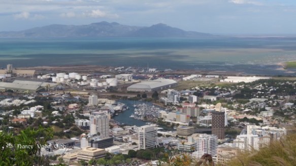
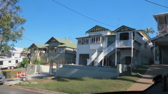
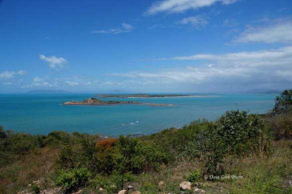
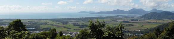
We’ve now been in Townsville almost a week and have done little of interest from a photographic point of view. We did drive up to the top of Castle Hill from which we could see hazy views of the coastline, Magnetic island and the city.


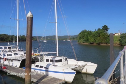
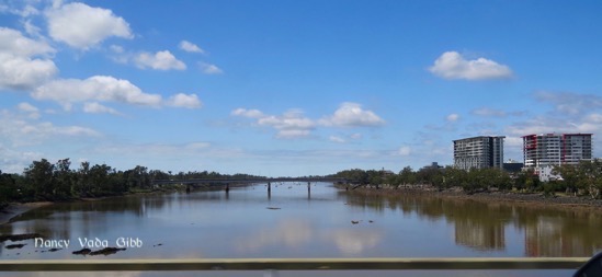
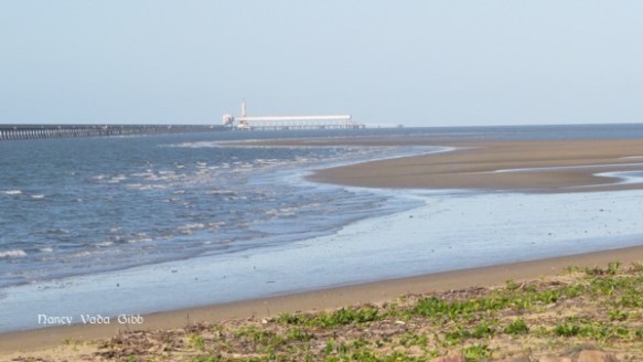
The only other photo of interest is this one, showing the river and inner harbour. In 1973 we tied up “Cornelius” against the north (left) side wall, and during the night the rat which had accompanied us all the way from Bowen finally deserted ship. We used to see it taking moonlight strolls on the deck when all was quiet, and it avoided all attempts at capture all the way around the top of Australia. I have often wondered what effect it had on the Townsville rat population.
We attended the local Caravan and Motorhome show but could not find any car and caravan covers which we need when they go into storage for some months. Later Dave did locate a cover for the Jeep at least.
There was more emphasis at this show on outback touring, with a variety of fold-away trailers and slide-on campers and the like. Also some rather nice new outback caravans, all minimalist black and white, I wouldn’t mind one. Our current Westie is comfortable but furnished in a very different, older style.
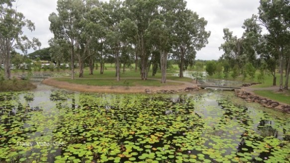
Dave went off to explore several museums, notably the Maritime Museum, while museum-sated me enjoyed some down time. We are in a camp in an industrial part of Townsville but the facilities are clean and the cost moderate.
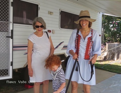
We caught up with Dave’s cousin Sarah, a doctor with Ywam medical ships which go to remote parts of Papua New Guinea giving free and much-needed medical and dental care. This website and video tells more: https://ywamships.org.au/ Sarah is in it briefly at 3.25 and 3.54. One afternoon we were given a fascinating tour of her ship which is in port at the moment for repairs and renovations. The organisation has other ships too.

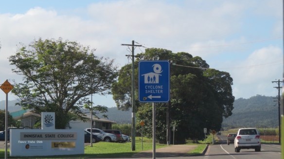
Charters Towers beckoned. I have been there before, may years ago when it was much smaller and dustier although even then the importance of the heritage buildings was recognised.
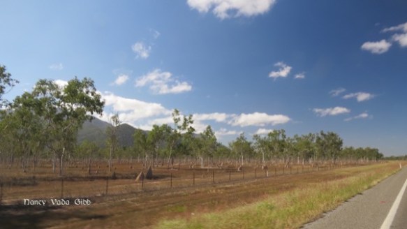
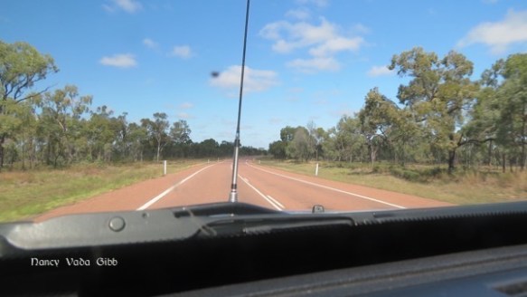
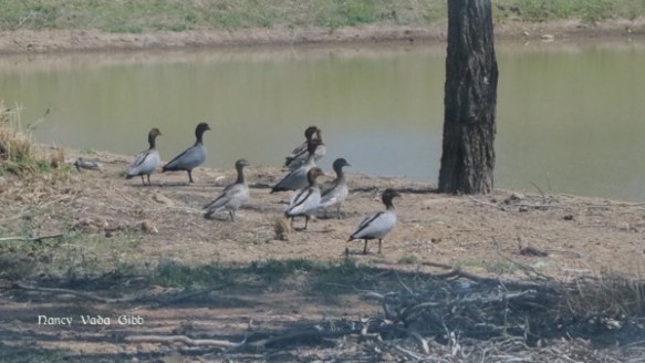
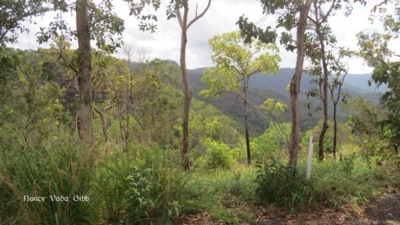
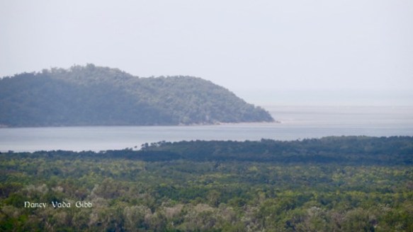
I thought we had left the outback with its ant hills behind, but once out of Townsville it was like we’d never been in the tropical wetlands.

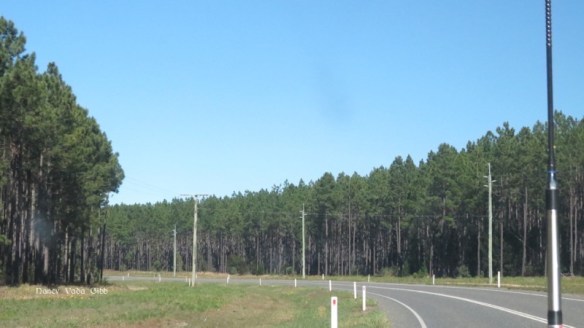
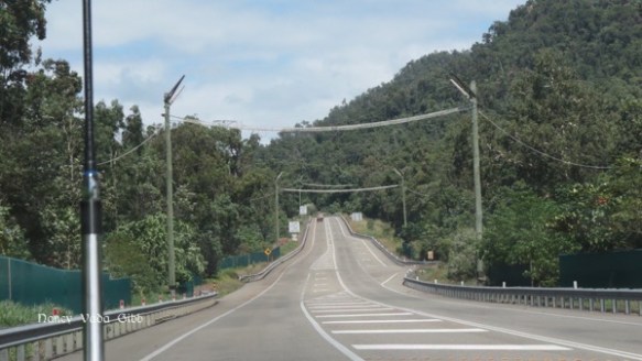
The surfaced road to Charters Towers is very good. Part of it is a lovely tan colour instead of the usual grey – it goes better with the countryside (!).
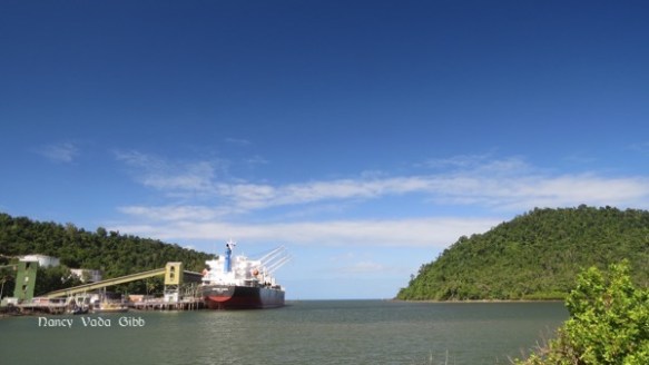
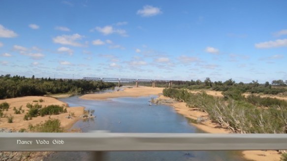
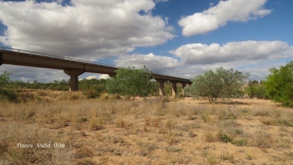
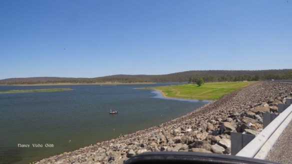
We came to the Burdekin River. Years ago I saw this river in full flood, brown frothy water as far as the eye could see with small waves on the surface. That must have been soon after a cyclone. This time the river was rather smaller and slower. That’s the railway bridge in the distance, it’s a little higher than the road bridge.

All the way from Townsville the signs had at least two towns on them – Charters Towers and Mt. Isa. Not far really – only 900 km plus from Townsville. By the time we got to Charters Towers it was much closer (!).

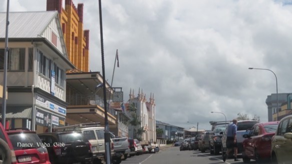
The main street is full of lovely old buildings from gold-rush days.


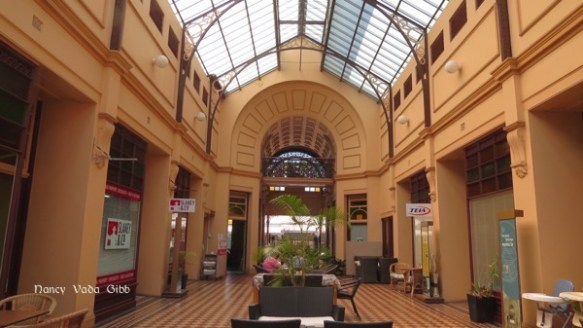
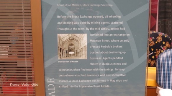
A must-see – the old Stock Exchange building. last time it was dark and dusty but still beautiful. The restoration is wonderful. Apparently some old timers remembered the ceiling glass being coloured at intervals but it was not in the original plans so the restorers have kept to clear glass except at one end. Note the delicate wrought-iron trusses.


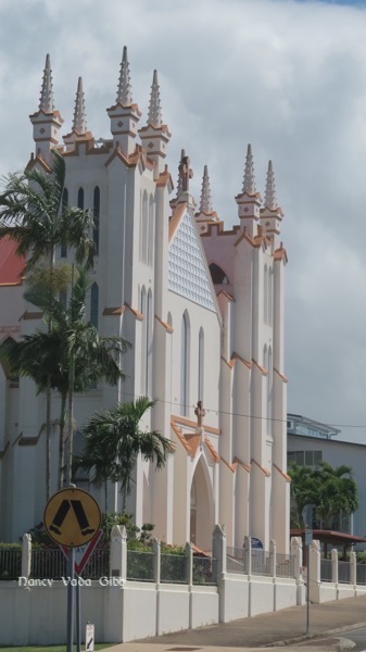
Another building, once a bank, now a theatre. Beautiful ceiling restoration in soft colours.


Apparently goats were a very important part of Charters Towers life.


Later I found this sign in a museum:

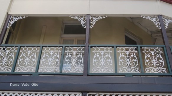
Lacework:

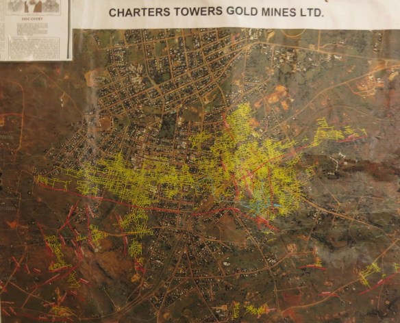
At the museum: The number of gold mines is mind-boggling. Each gold line is a mine shaft!
Two early gambling machines.

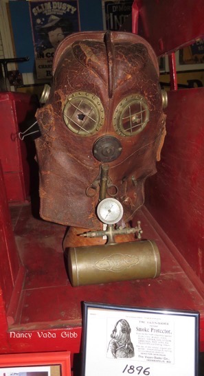
A gas mask for use in the mines. Looks like a deep sea diving helmet.
How many spelling mistakes can you spot in this notice??


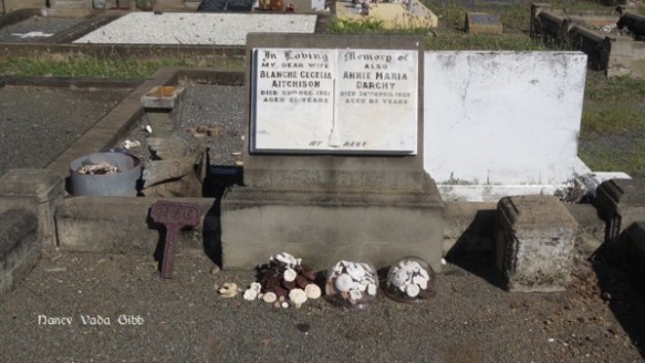
Then round a corner in a display about the early hospital on a back wall I came upon THIS… I know that surname.


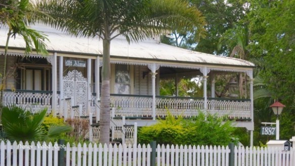
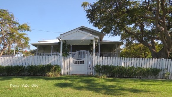
Hoping to find out more about Dr. Robert Huxtable after leaving the museum we went to the Library where there is a Family History association (Correction – Archives) and were lucky to meet the historian (Correction – Archivist) Michael Brumby who knew about Dr. Huxtable and gave me this photo. He also told us where the private hospital Mt. Alma is located – it is now a private home.

Later I was able to confirm that Dr. Robert Huxtable was the brother of the man who married my grandfather’s sister. Better still, not much is known about him among the various Huxtables who I have contacted in the past and who have been very generous in sharing their family history. Now I can really give something in return.
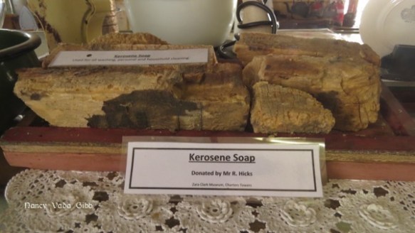
More stuff in the museum. Kerosene soap??
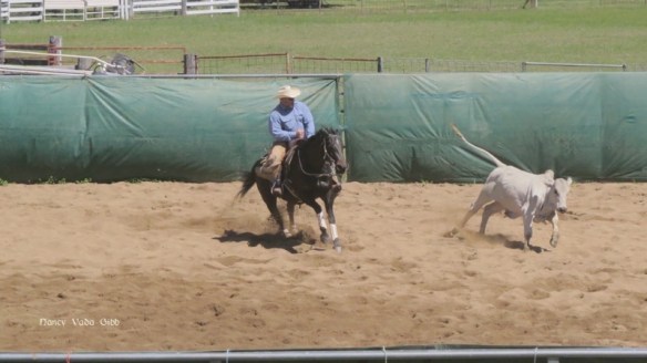
Someone wanted to make sure the importance of horses in early times is recognised.


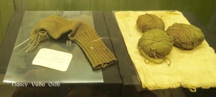
A very poignant display in the War section – a young man wrote home asking his mother to knit him some socks because his feet were so cold and wet in the trenches. But before they could be finished the news came that he had perished. The socks were never finished.
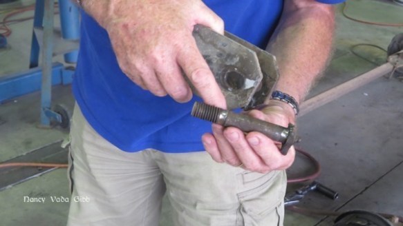
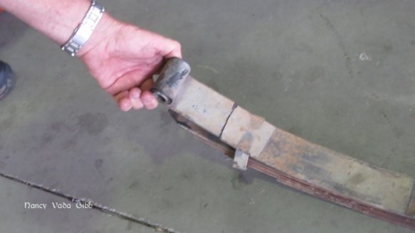
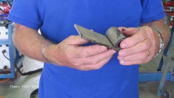
Driving back to Charters Towers we spotted this sad sight ….

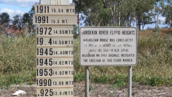
This time we stopped at the Burdekin River to inspect the famous flood sign. 21.7 metres!


The start of the new bridge can just be seen to the far left
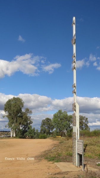
We drove down to the river bed. Compare the height with the previous photo.
Back on the bridge again.

We will be leaving for Bowen tomorrow.


 …. until finally we reached Gympie where we stopped for lunch and Dave explored the Gympie Gold Mining and Historical Museum. I decided some sudoku was more attractive. No photos from Dave – he had the wrong lens on his camera. No photos of the town either, I was too busy trying to navigate up and down the steep streets especially when we strayed off the highway.


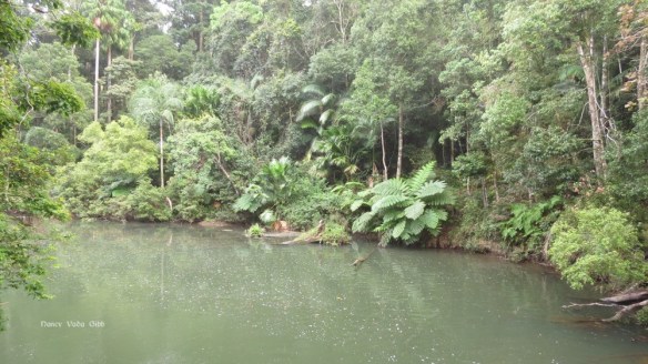


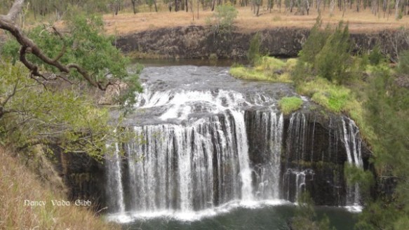
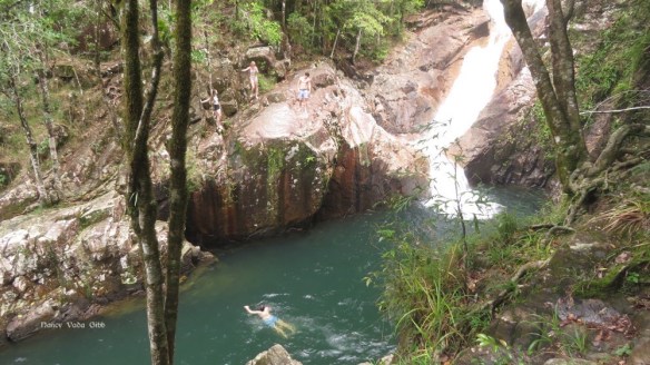
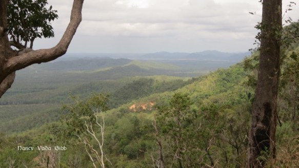
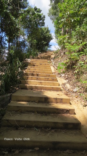
 Eventually we reached ground zero to find a couple of teenagers daring each other to jump into the pool below. Further on were some popular swimming holes judging by the number of people we passed on the track wearing togs and carrying towels.


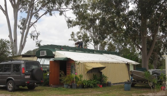
 There is a rather intriguing “outside bathroom” in one corner for those who are a little far from the main amenities. I wonder if they provide an umbrella during the Wet.


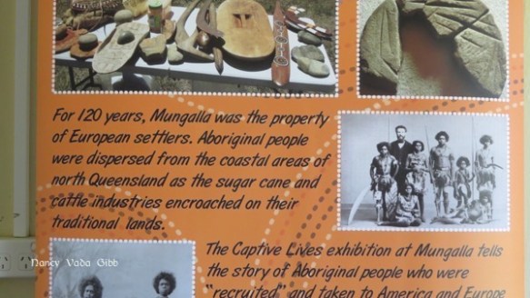


 Then down again and on to Ingham and a bush camp we’d been hearing about, on a private cattle property now owned by Aborginals.