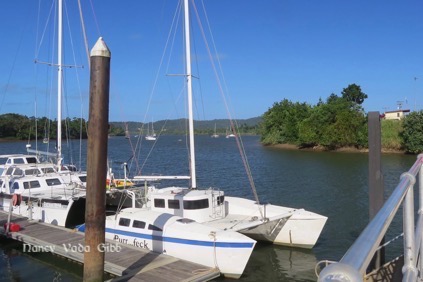
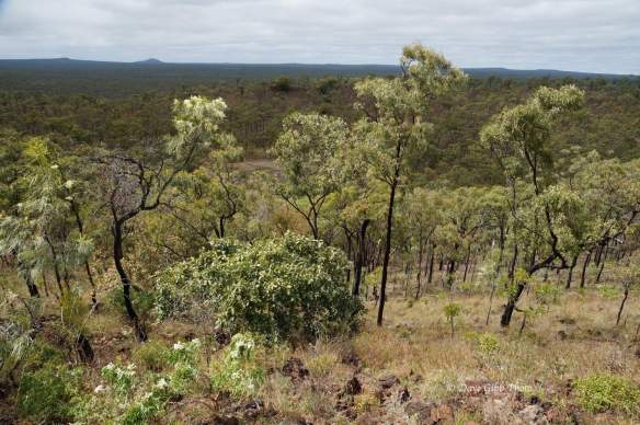
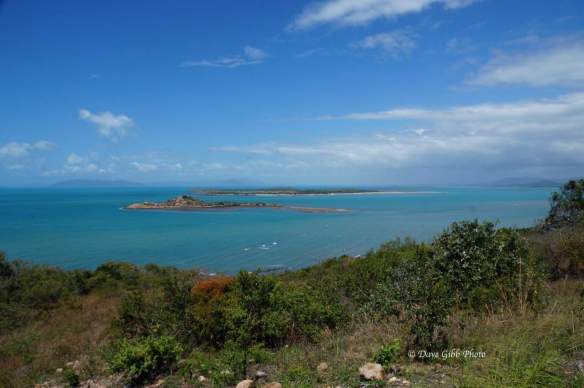
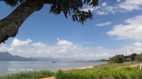
While in Gladstone we realised it was almost our last chance to visit a Great Barrier Reef island. Previously we’d turned down Green Island out of Cairns in favour of the Kuranda Railway. At Bowen we decided not to visit touristy Airlie with its numerous sightseeing boats around the Whitsundays. We skirted Mackay so missed the boats to the Northumberlands and Percy Isles. From Rockhampton we could have visited the Keppels but preferred to see family. Then at Gladstone we learned the only business with boats to Lady Musgrave Island (operating out of the Town of Seventeen Seventy) had two boats but one had sunk and the other was in Brisbane for servicing! That left Lady Elliot island at the very bottom of the Great Barrier Reef but it is now a high-priced eco-tourist resort and we only wanted a day trip.
I was particularly disappointed about Lady Musgrave island. Twice in the late seventies-early eighties I visited it on board “Cornelius”. Both times it took great care to negotiate the narrow dog-leg channel through the coral and into a large lagoon where we anchored and snorkelled and dived to our hearts’ content. It is still uninhabited although camping is permitted.
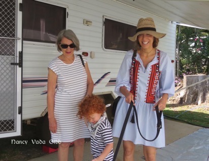
Oh well – onwards. Approaching Bundaberg we stopped at Lake Monduran for a cuppa and met a lovely couple heading in the opposite direction. (So sorry, if you are reading this, we didn’t even catch your names). Too often we meet like-minded people but plans to meet up again somewhere else seldom seem to materialise.


We didn’t have any plans for Bundaberg but on the drive there one of the roadside ‘fatigue zone’ quiz signs was about Bert Hinkler the famous aviator from Bundaberg so we determined to visit the Museum. It turned out to be an interesting treasure-trove located within the Bundaberg Botanical Gardens, where we had a reasonable cafe lunch and then set off to explore.


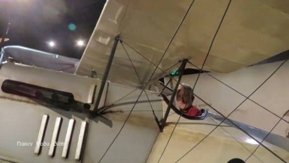
I thought I was museumed-out but this last one was good, particularly because it had several hands-on flight simulators. Here I am piloting one of Bert’s early gliders (this is the way he “sat” in the cockpit) …

… a model of it on the beach … (you can see the pilot’s position)….

.. plus an amazing story about a fragment from that glider ……

…. us taking turns in the cockpit of another very early plane ….

…. and Dave piloting a Cessna Cub (?) which I also loved. Luckily there were few other visitors so I had several goes. I ALMOST made it to the next airfield before running out of fuel and crashing. I now have a much better understanding of flying small planes!

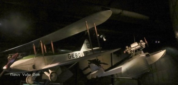
More planes … (hard to see in the dim light).
Another unusual sign …. (what has happened to Cathy Freeman? – https://www.wyza.com.au/entertainment/where-are-they-now-cathy-freeman.aspx)

Bert flew from Sydney to Bundaberg in 1921 in a Baby Avro. There was much excitement when he arrived ….


Bert lived in England for many years at a house in Southampton called Mon Repos. In 1982 the house was listed for demolition but a long-time Bundaberg resident and Hinkler admirer organised the relocation of the house to Bundaberg as part of the Australian Bicentenary celebrations. A three-man dismantling team from Bundaberg pulled down the house brick by brick and shipped it to Australia in two 20 tonne containers. It was successfully rebuilt and furnished with some of Bert’s furniture which had been saved plus other from the same time period.

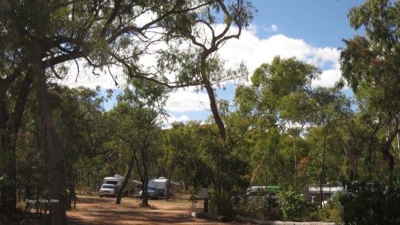
We did not stay in Bundaberg but continued towards Maryborough, spending the night at a free camp well guarded by Wicked Banksia-Men. Anyone who read the Snugglepot and Cuddlepie books when young will know what I mean! The dried seed pods used to fascinate me as a child.


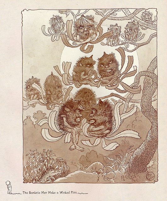

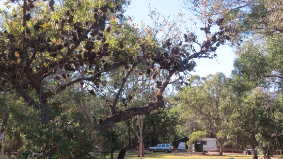


Wallum (Banksia) obviously has strong powers of regeneration.

About to leave next morning, we noticed someone must have bashed into our rear bumper bar some time the previous few days. So disappointing – we have come this far without a scratch and now this. Fortunately all the lights still work.


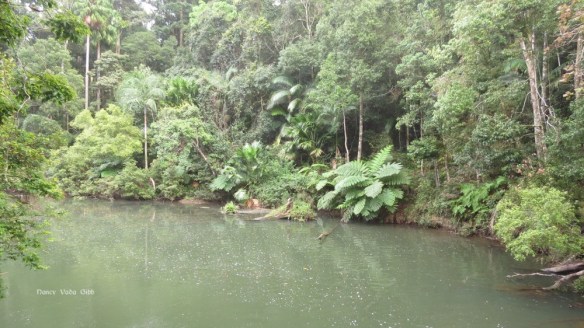


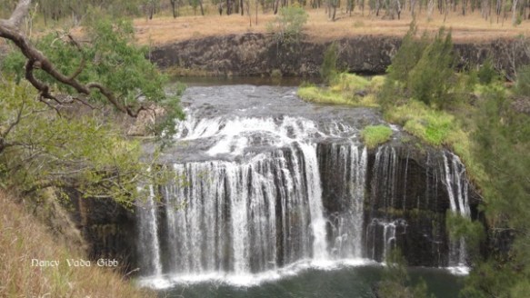
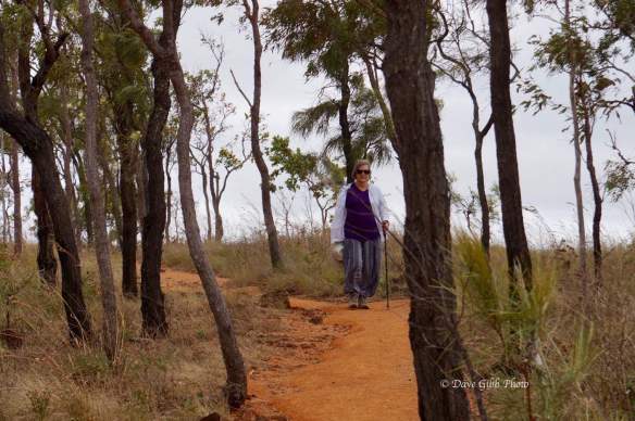
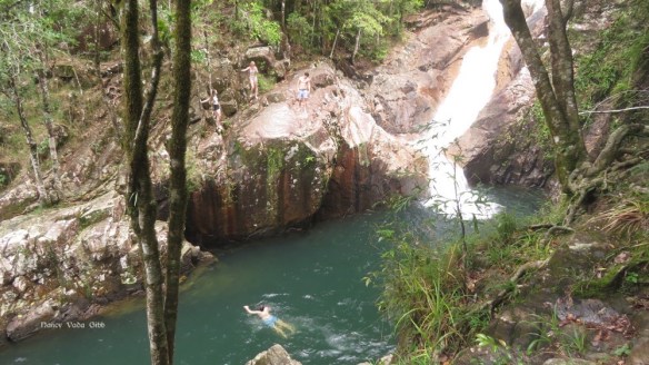
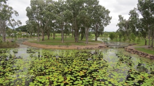
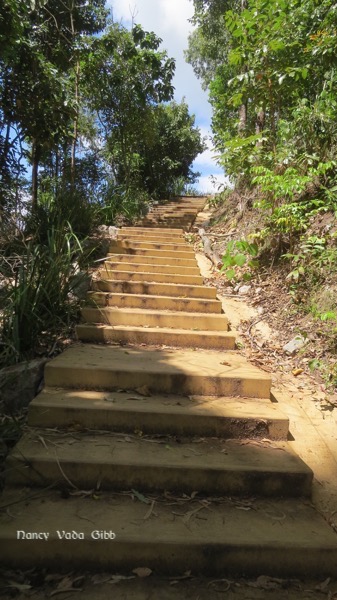
 Eventually we reached ground zero to find a couple of teenagers daring each other to jump into the pool below. Further on were some popular swimming holes judging by the number of people we passed on the track wearing togs and carrying towels.


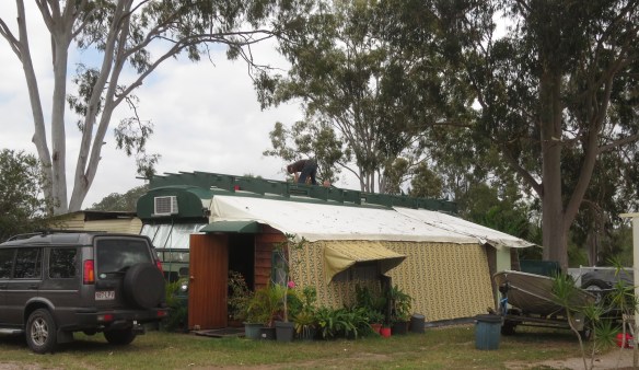
 There is a rather intriguing “outside bathroom” in one corner for those who are a little far from the main amenities. I wonder if they provide an umbrella during the Wet.


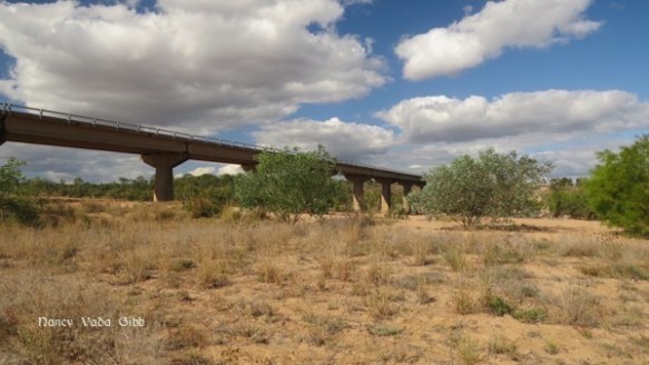


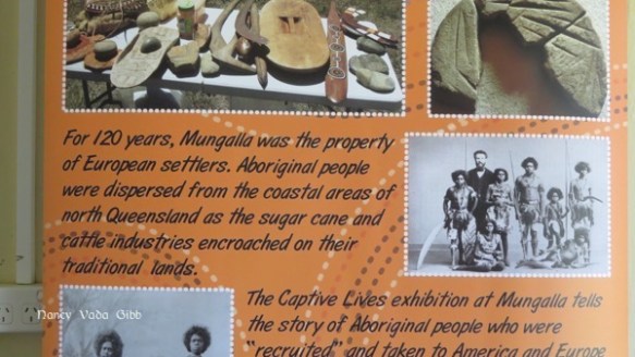


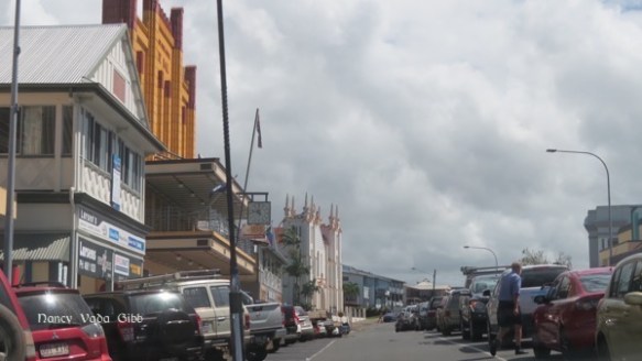
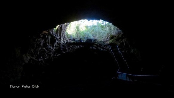
 Then down again and on to Ingham and a bush camp we’d been hearing about, on a private cattle property now owned by Aborginals.