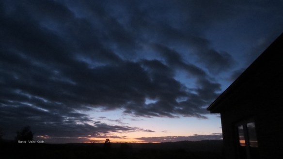
 The sunrise promised a beautiful day and so it was, but with bad weather forecast it was time to go for a drive while the weather held. The Maniototo area of Central Otago is a wonderful place to explore, full of remnants of the old gold rush days. The landscape is claimed to be unique: “Nowhere is there such a wide sprawling plain surrounded by rugged majestic mountains with rocky tors and outcrops interlacing the tawny alpine tussocks that flow golden in the afternoon sun. Five mountain ranges encompass the region…” (The writer obviously hadn’t been here during the broom flowering season).
We have both been here many times before but it is still a delight to revisit those places which captured my attention when first seen.
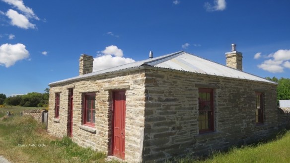
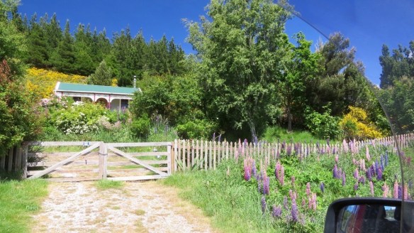
At the end of our road where it joins the highway is an old cottage with intricate stonework. The adze marks can still be clearly seen. The old fence – so perfect.


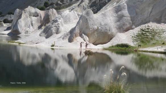
 St. Bathan’s with its famed Blue Lake and moonscape-like terrain. Gold was discovered here in 1863 and just under 3,000 kilos recovered. People still live here.


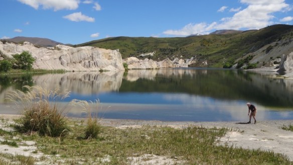
Nowadays the Lake is a recreation area but only two other people were to be seen.
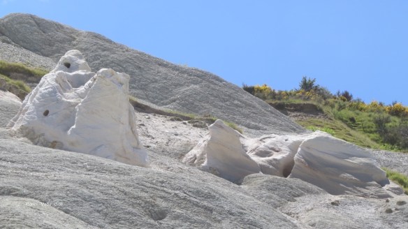
Fascinating weathered outcrops.

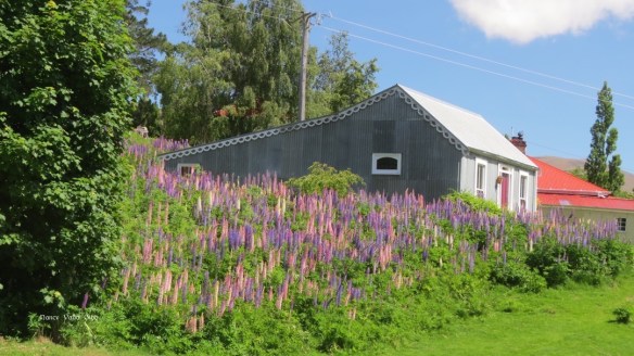
Cute cottages …
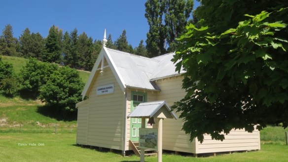
St. Bathan’s Domain is a good camping place. The other goalpost is on the other side of a fence! 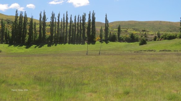 On the way back to the highway we paid a visit to Cambrians, a tiny village tucked into the mountains, with strong Welsh heritage. “The rivalry and sometimes bitter acrimony between the Protestant Welsh and their Catholic Irish counterparts in nearby St. Bathan’s was known as “the War of the Roses”.”


The schoolhouse was open this time and full of local heritage records and photos.
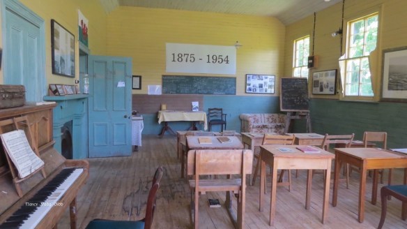

As always, old photos fascinated me. the intricate detail in the dresses and bouquets is amazing seeing this was a tiny little remote village.

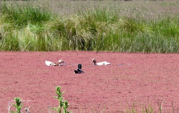
On the way back to the highway we saw a pink pond with 3 happy ducks, duck-diving in perfect co-ordination, you could almost hear the music.

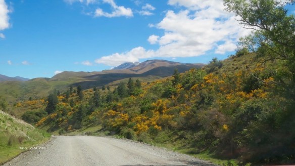
Typical Maniototo country.

Feeling peckish we decided to visit the Hayes’ Engineering Works cafe before proceeding further. The food was as good as ever.
Taking the back roads we headed through Ophir for Moa Creek and the Poolburn Lake and Dam.
We missed most of Moa Creek but here is the hotel. A local farming property has restored many old huts and now offers them for backpacker accommodation.

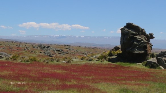
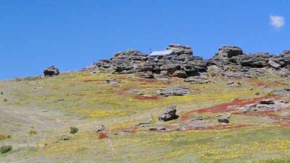
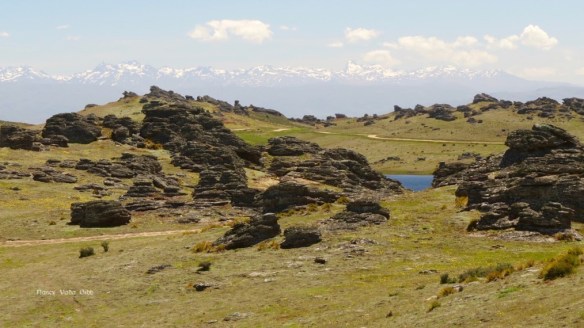
Then up and up on the famed Dunstan’s Track through awesome country dotted with huge weatherbeaten stones, the ground covered with yellow dandelions and a wild grass with reddish seed pods which transformed whole stretches into pools of blood red as seen through my polaroids.

 It was quite different to how I remembered it when I first met Dave and we toured NZ mostly by motorbike but in the final week with his 4WD truck. We did the Dunstan Track and Thompson’s then and I will always remember feeling I was on top of the world, in brilliant sunshine, then suddenly descending through cloud to the dismal rainy lowland.
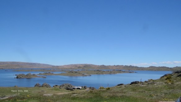
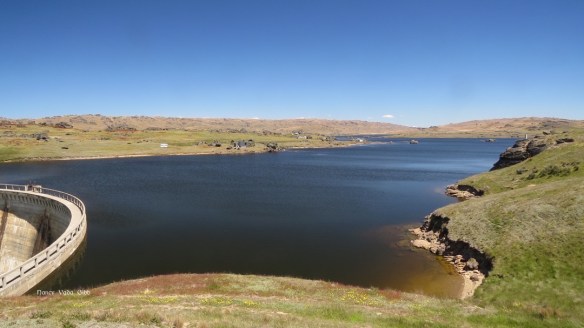
Finally we reached Poolburn Lake. There are a number of baches (holiday homes) still dotted around but any further building is forbidden. The Lake was pretty full judging from the level at the dam.


There’s a bach hidden among the rocks – what a view.

It’s harsh country in winter. Even the rough rocky outcrops wore jackets of thick moss.

 Returning home ….. we had a way to go.


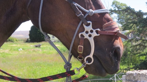
We surprised this lady riding home with her two ex-racehorses. A little chat and we were off again to a great welcome from the dogs and chooks.